博文
2021年Journal of Mountain Science 换新装了-1期文章推介
||
Journal of Mountain Science (JMS) (中文刊名:山地科学学报(英文)) 自2014年开始,从当期发表的文章中筛选优秀论文作为封面文章,同时请作者提供论文研究区域的图片选用作封面,并请作者撰写封面故事(Cover Story)介绍这幅图所在的研究区域以及封面文章的主要研究内容,或者介绍文章的研究背景和主要研究内容。此举吸引了优秀稿件的投稿,更促进了优秀论文在山地科学领域的广泛传播。在国际会议上,我曾遇到多名作者找到我,从手机里翻出自己在Journal of Mountain Science 发表的封面文章介绍自己,同时,很自豪地向其他同行推荐自己的这篇封面文章。
2021年起,在总体保持期刊过去的外观设计基础上,对封面和封底又进行了局部修饰,特别是对封底进行了亮化,使得期刊的整体风格更亮丽明快。
------------------------------------------------------
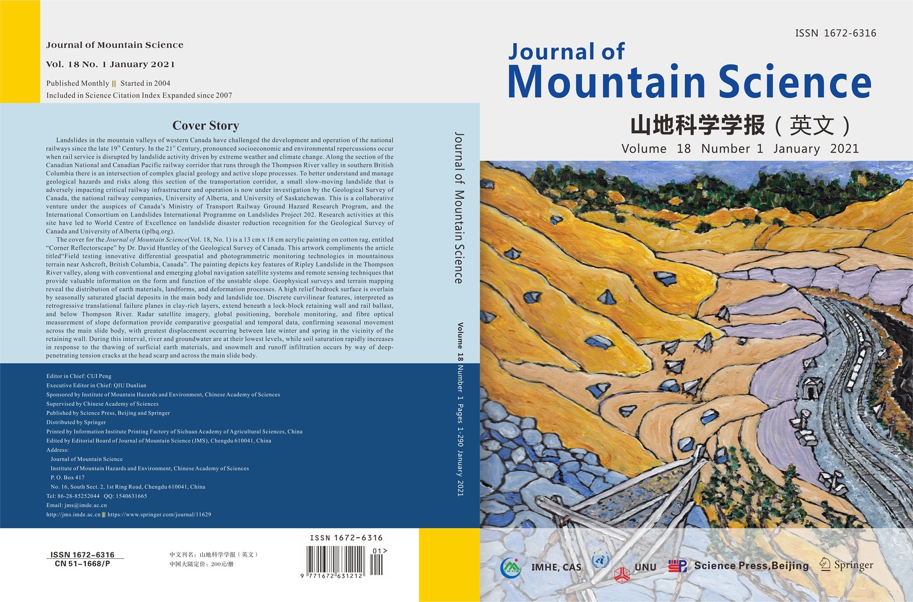
2021年第一期的封面文章由加拿大地质调查局的高级研究员Dr. David Huntley撰写。我们在遴选封面论文后,请作者提供几张研究区域的图片,供我们选作封面,作者先发来一张地质灾害施工现场的照片,图中一个大大的挖掘机,如果用这张图作封面,感觉比例普通,基本上属于施工现场随处可见的场景。作者随后发来一张他亲自手绘的研究区域的图,画面感很强,用作封面一定应该会很有吸引力。我们采用这张手绘图制作的封面得到很多同行的赞誉。以下是作者撰写封面故事和第一期的封面和封底。在最后是这篇封面文章的链接。
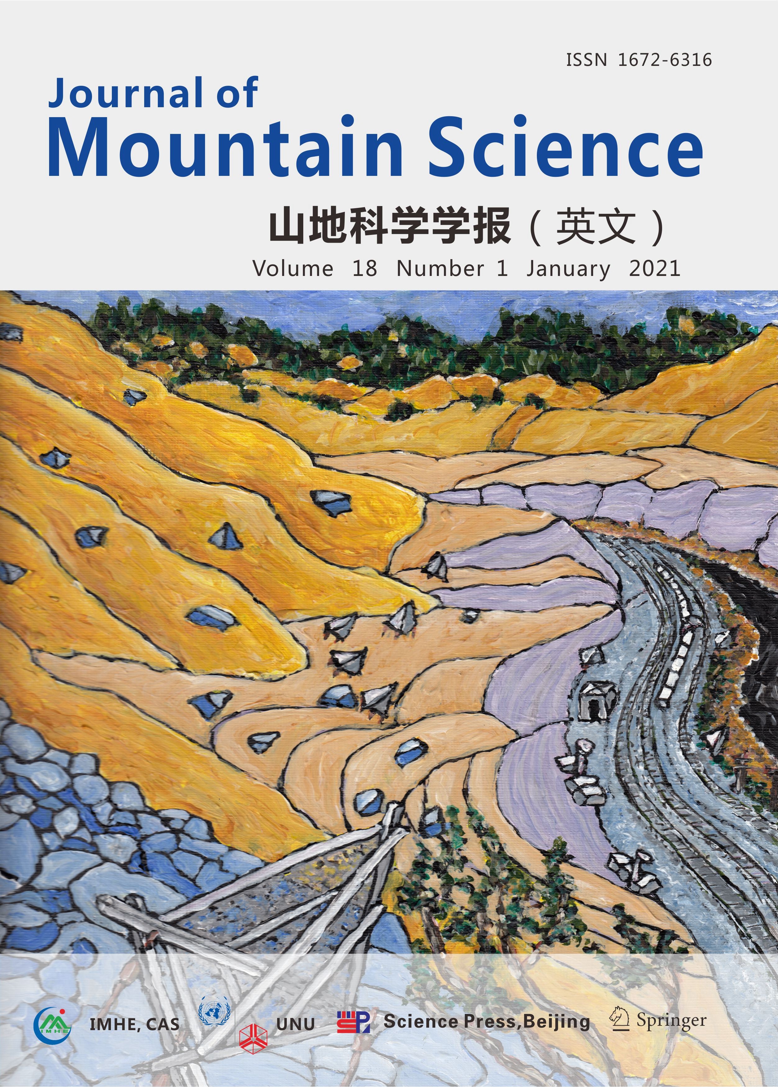
Journal of Mountain Science (Vol. 18, No.1, 2021)
Cover Story
Landslides in the mountain valleys of western Canada have challenged the development and operation of the national railways since the late 19th Century. In the 21st Century, pronounced socioeconomic and environmental repercussions occur when rail service is disrupted by landslide activity driven by extreme weather and climate change. Along the section of the Canadian National and Canadian Pacific railway corridor that runs through the Thompson River valley in southern British Columbia there is an intersection of complex glacial geology and active slope processes. To better understand and manage geological hazards and risks along this section of the transportation corridor, a small slow-moving landslide that is adversely impacting critical railway infrastructure and operation is now under investigation by the Geological Survey of Canada, the national railway companies, University of Alberta, and University of Saskatchewan. This is a collaborative venture under the auspices of Canada’s Ministry of Transport Railway Ground Hazard Research Program, and the International Consortium on Landslides International Programme on Landslides Project 202. Research activities at this site have led to World Centre of Excellence on landslide disaster reduction recognition for the Geological Survey of Canada and University of Alberta (iplhq.org).
The cover for the Journal of Mountain Science (Vol. 18, No. 1) is a 13 cm x 18 cm acrylic painting on cotton rag, entitled “Corner Reflectorscape” by Dr. David Huntley of the Geological Survey of Canada. This artwork compliments the article titled “Field testing innovative differential geospatial and photogrammetric monitoring technologies in mountainous terrain near Ashcroft, British Columbia, Canada”. The painting depicts key features of Ripley Landslide in the Thompson River valley, along with conventional and emerging global navigation satellite systems and remote sensing techniques that provide valuable information on the form and function of the unstable slope. Geophysical surveys and terrain mapping reveal the distribution of earth materials, landforms, and deformation processes. A high relief bedrock surface is overlain by seasonally saturated glacial deposits in the main body and landslide toe. Discrete curvilinear features, interpreted as retrogressive translational failure planes in clay-rich layers, extend beneath a lock-block retaining wall and rail ballast, and below Thompson River. Radar satellite imagery, global positioning, borehole monitoring, and fibre optical measurement of slope deformation provide comparative geospatial and temporal data, confirming seasonal movement across the main slide body, with greatest displacement occurring between late winter and spring in the vicinity of the retaining wall. During this interval, river and groundwater are at their lowest levels, while soil saturation rapidly increases in response to the thawing of surficial earth materials, and snowmelt and runoff infiltration occurs by way of deep-penetrating tension cracks at the head scarp and across the main slide body.
文章链接:
Field testing innovative differential geospatial and photogrammetric monitoring technologies in mountainous terrain near Ashcroft, British Columbia, Canada
https://link.springer.com/article/10.1007/s11629-020-6552-y
https://blog.sciencenet.cn/blog-314423-1269488.html
上一篇:中国大陆主办的SSCI期刊
下一篇:走出去:科技写作培训与期刊宣推介